


The EasyWays team took care of all the logistics, including booking comfortable accommodations and arranging baggage transfers between each stop. Every hotel and guesthouse I stayed at was welcoming, clean, and perfectly located along the route. It was such a relief to know my bags would be waiting for me at the end of each day—one less thing to worry about after a full day of hiking!
What really stood out was the attention to detail and personalised service. The comprehensive information pack provided before my journey was full of useful tips, detailed maps, and a clear itinerary that made navigation a breeze. Whenever I had a question, the team was quick to respond with friendly and helpful advice.
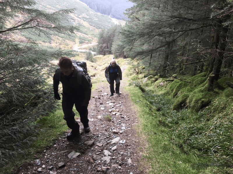
Walking the West Highland Way is a bucket-list adventure, and EasyWays made it all the more special by handling the planning so I could focus on the incredible scenery, from the dramatic peaks of Glencoe to the serene shores of Loch Lomond. This was my first walking holiday, and I’m already looking forward to booking my next trip with them.
If you’re looking for a hassle-free walking experience where everything is taken care of, I wholeheartedly recommend EasyWays. Their expertise and thoughtful planning made this one of the most memorable trips of my life!

From start to finish, everything ran so smoothly. The accommodations were lovely and we couldn't fault the selection EasyWays booked for us. We will definitely book with them again.

1. Payments are made in a way that you do not know exactly what you will get until after you pay, you get a general program and then refunds are not easyways. read the small letters!!
2. In case of no accommodation, they offer a transport with bus or taxi to a different location. in our case taxi was delayed for a very long time ended in very late arrival to the gust house.
3. In accurate place of the first luggage pickup


They arrange for your luggage to the shifted from accommodation to accommodation so all you need to do is focus in your walk. They arrange any necessary transfers. They take out all the stress of planning popular tours like the West Highland Way. However if your have special requirements they are able to tailor tours to suit your needs. They can help you arrange for dogs/young children to travel with you based on accommodation that can host these requirements. Either fill in an enquiry form via thier website or send the team an email. I am an amateur walker and Easyways showed me how much more I can do and inspired me to some phenomenal walks and see the best of Scotland.


We have been very happy with the standard of accommodation over the years.
The staff at Easyways are great to deal with - friendly and helpful and the whole process is entirely painless.
In a nutshell, we automatically turn to Easyways when considering a long walk - wouldn't go anywhere else!
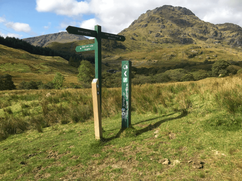
Route Stops
Arrive in Portavadie by public transport from either Dunoon (by bus) or Tarbert (by ferry) and depending on time, either overnight here or begin your first day walking the short distance to Tighnabruaich. If you arrive in Tarbert too late for the ferry crossing on the same day, it is possible to overnight in the town and commence your walk by first taking a ferry over Loch Fyne the following morning.
The Cowal Way begins on mainly forest track, paths or quiet road, easy undulating track, with a gentle climb to 85m over the first 2km. This is a fairly undemanding section, offering excellent views of both Loch Fyne and the Kyles of Bute. Points of particular interest along this section include the dramatic ruins of Asgog Castle, the remains of a gunpowder mill, and a World War II tank landing slip.
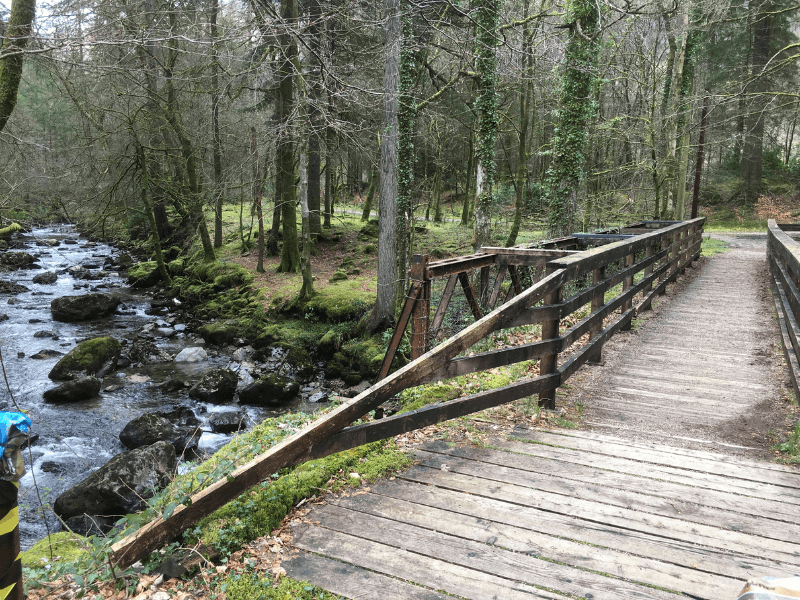
The majority of this section is easy walking on quiet public and private roads, broken up by a more challenging section of shoreline and woodland. This middle section has been recently upgraded to include new wooden walkways and steps, but should not be attempted during a particularly high tide. (Check out the tide details and all information on the Cowal Way Official App). Highlights of this stretch of the walk include a Telford bridge, Kilmodan Church and its historic carved stones, and the Lucknow Gates which are said to commemorate the 1857 Siege of Lucknow, India.
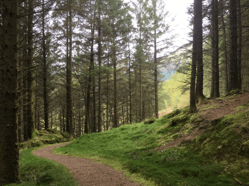
The third section of the Cowal Way continues up Glendaruel before joining tracks up by the Garvie Burn over open moorland and through forestry plantations up Strath nan Lub. The route then descends into Glen Branter with some attractive waterfalls before finally a quiet back road leads on to Strachur. This section is fairly easy under-foot, mainly following well maintained forest tracks and offering good views all around.
This stage of the Way crosses open moorland, passing a peaceful loch and waterfalls before descending through forestry and then along a pleasant coastal road to Lochgoilhead. In places the path is indistinct and at times boggy however it is waymarked for assistance. Some challenging uphill terrain, small streams and several stiles are encountered however reward come in the form of some fantastic scenery, most notably the dramatic views of the Sruth Ban Falls.
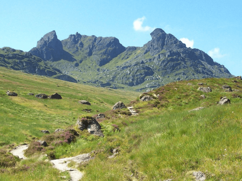
This final section of the Cowal Way includes the highest climb of the route at almost 500m rewarded in clear weather by wonderful mountain views over the Luss Hills, Ben Lomond, Ben Bheula and the Brack. This is followed by scenic walking alongside Loch Long and Loch Lomond. This stage can also be broken up by an overnight stay at Arrochar ( 9 miles / 14.5 km) allowing the opportunity of an easier day’s walking or alternatively climb the famous Cobbler before continuing on to Inveruglas. Forest tracks prevail for much of the way, with a steep ascent on a rough path in the forest. The highest section of the route has only a very faint and boggy path – wooden posts mark part of this section across the hilltop.
Loch Lomond & Cowal Way
57 miles / 90 km
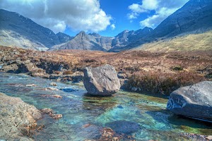
The Loch Lomond and Cowal Way is one of Scotland’s most scenic routes. Running the length of the Cowal Peninsula from Portavadie to Inveruglas. The Way winds through the communities of Tighnabruaich, Glendaruel, Strachur, Lochgoilhead and Arrochar on footpaths, forestry tracks, quiet roads and traditional rights of way to end within the boundaries of Loch Lomond and Trossachs National Park.
Passing through the wonderful Argyll landscape, the route offers forests and glens, waterfalls and sea-lochs with abundant wildlife, including grey seals, porpoises, otters, and many varieties of seabirds.
The woodland and field areas of the route is home to foxes, badgers, barn owls, roe deer and the native red squirrel.
Well connected by public transport to both start and end points this is a route that offers peace and tranquillity in contrast to the more busy West Highland Way.
Quality Accommodation
Door to Door Baggage Transfer (max 18kg)
Rucksack Readers Guide Book
Location Details For Each Accommodation
Travel Information from start to finish
Sugguested Equipment List
Route Packages
What’s included?
- An Electronic Tour Pack with full tour information downloaded to your mobile device
- En-suite accommodation from a selection of Hotels, Guest Houses and B&Bs.
- Breakfast included at all stages
- Bag Transfer at All Stages (max 18kg)
- A Loch Lommond & Cowal Way Walking Guide Book
- A Guibo GPS Mapping App detailing all walking routes
- Travel information to the start and from the finish of the walk
- Emergency support during your walking period
What’s not included?
- Evening meals, packed lunches and drinks
- Travel insurance
- Travel to and from the walk start and end point
First established in 1996, EasyWays has built a strong reputation with the UK and International walking community in the delivery of walking holidays throughout Scotland.
The template of every successful business is grounded in long term relationships, and EasyWays, along with our accommodation providers and baggage transfer companies work as one to ensure your walk experience is both enjoyable and memorable.
As a Scottish based company we are close at hand to the walking routes and pride ourselves in delivering a bespoke service – tell us what you would like and we will build an itinerary to match.


